The Tai To Yan to Kai Kung Leng Hike starts right beside a mates house in Tai Po, near Kadoorie Farm and also not far from one of the entrances to Tai Mo Shan. I’d day this is an medium difficulty hike, but as with every hike in Hong Kong, becomes much (MUCH) more difficult when the sun is out. We did this when it was about 18 degrees, which made it a lot easier than if we had done this for example, now, or in the middle of summer.
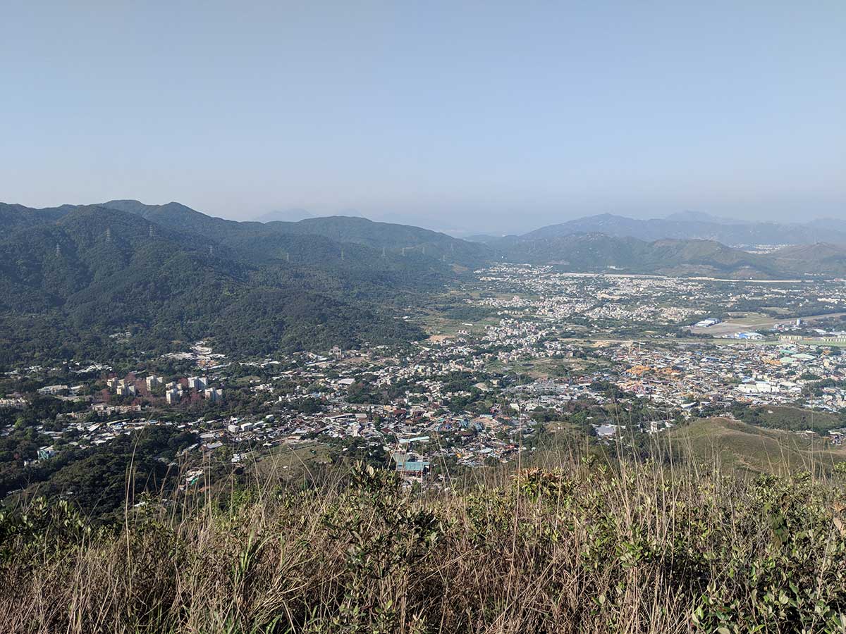
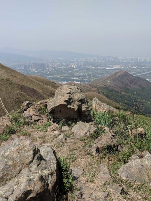
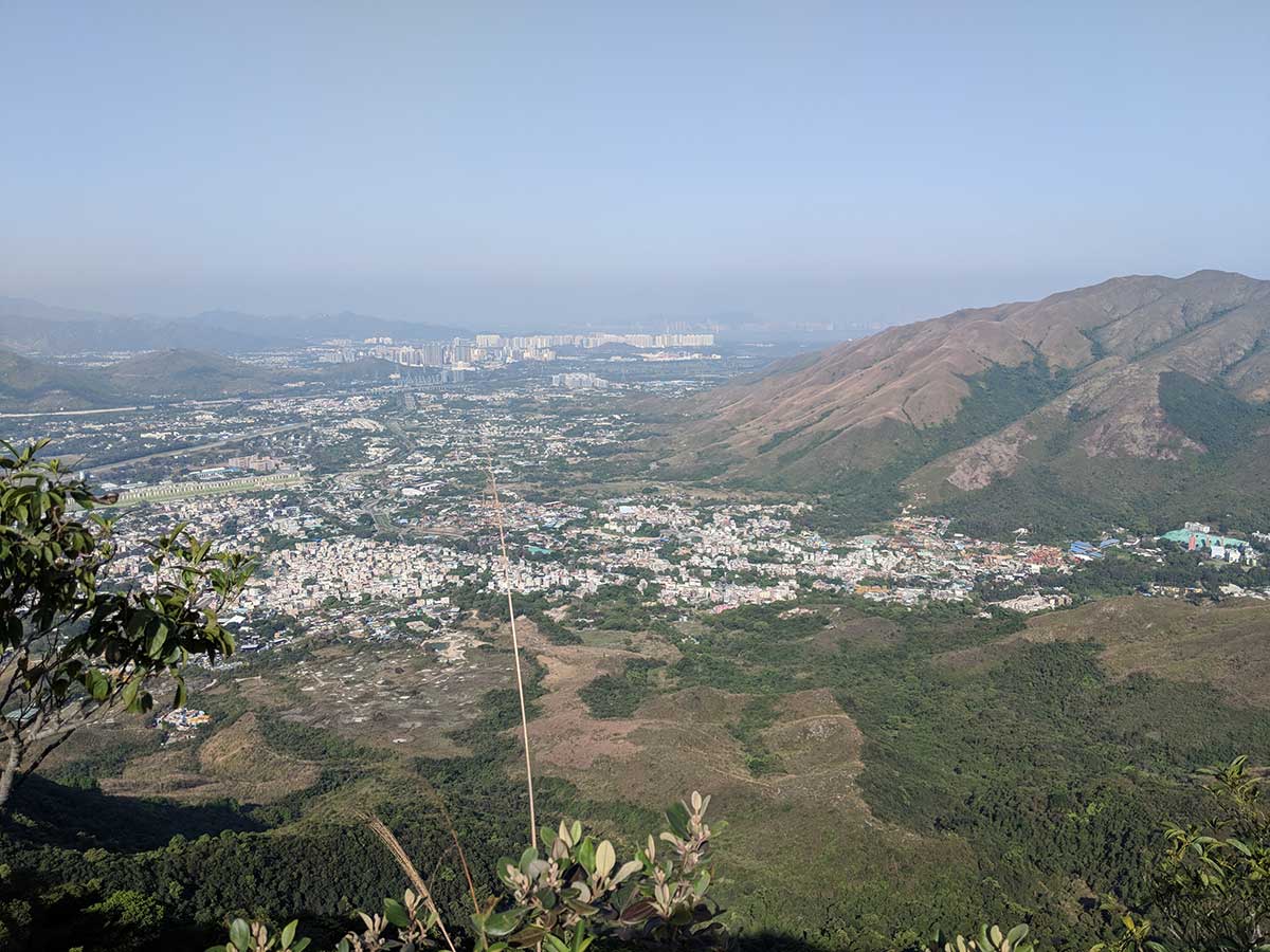
The entrance to start of the Tai To Yan to Kai Kung Leng Hike is on Lam Tin Road, right opposite Kadoorie Farm. Actually there’s several entrances and ways up, but I recommend this one. The first bit of the Tai To Yan to Kai Kung Leng Hike is going up Tai To Yan, which is a nice steady climb. Not too easy and not too difficult. It’s not that step but is a good work out. When you get to the top of this, you have some okay views overlooking Shenzhen, Tai Po and the New Territories. You can clearly see the next climb, Kai Kung Leng, which is completely uncovered and provides no shade from the sun.
Again, this was fine we did it, but in the summer, with the sun beating down and 33 degrees in the shade, I don’t think I’d be wanting to any part of the Tai To Yan to Kai Kung Leng Hike. Hikes like Lantau and Sunset and Tai Mo Shan are steeper and harder work, but Tai To Yan to Kai Kung Leng Hike wouldn’t be a picnic. So anyway, once at the top of Tai To Yan, have a bit of a rest. If you’re already buggered, you better head down. There’s a bunch of tracks to different places, but if you’re up for it, head down, walk along the road a bit then find the entrance to Kai Kung Lung.
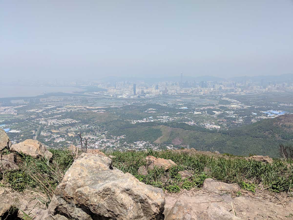
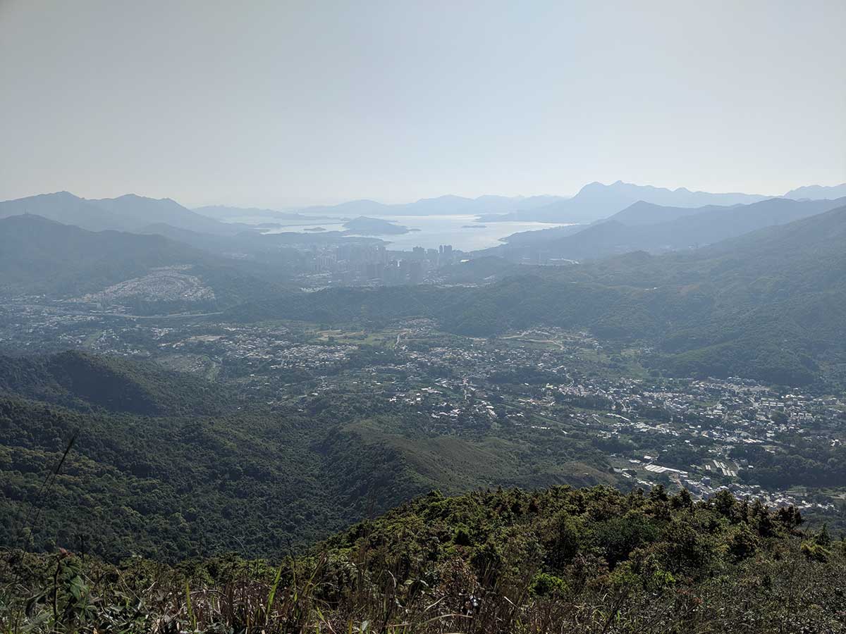
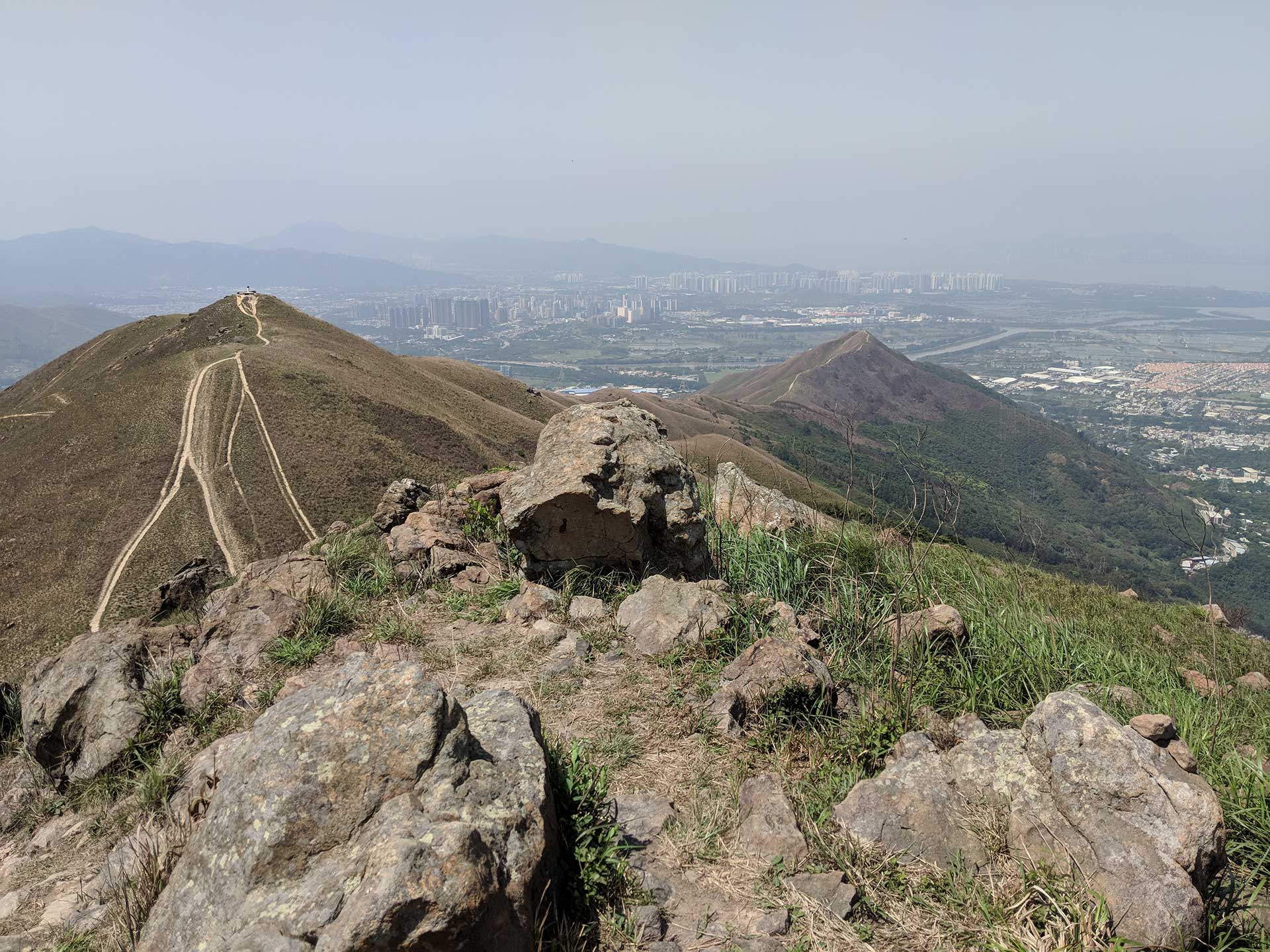
You’ll probably need your Google Maps on and if you want, send me an email and I’ll send you the Garmin Connect course. Going up Kai Kung Leng is again, not difficult, but not easy and provides a really good work out without killing yourself. The views from the top of Kai Kung Leng are ok, nothing like Sharp Peak, but you can see all over the New Territories and parts of Shenzhen. You the head down, most of which is stairs and end up near a little village in Nam Tin.
Overall, the Tai To Yan to Kai Kung Leng Hike is around 17km. Took us 4hrs at a leisurely, but medium speed pace with a few breaks along the way. This wouldn’t be my favourite hike in Hong Kong but if you’ve done most of the more popular ones and are looking for something different, it’s worth a go.
For more things to do in Hong Kong check out our Hong Kong destination guide.
For more information about the Tai To Yan to Kai Kung Leng Hike ask us on Twitter.