The Tai Mo Shan Hike is probably one of the tougher hikes in Hong Kong. Tai Mo Shan is the highest peak in Hong Kong and at 957m is also the tallest coastal peak in Southern China. We did the Tai Mo Shan hike early on when we first starting hiking in Hong Kong and we weren’t that fit, so the level of difficulty may have gone down. We parked at a mates place very near Kadoorie farm, walked 10 minutes down the road and began the accent up Ng Tung Waterfall Path. The Tai Mo Shan hike starts off relatively tame, some easy trails and a few steps, before some very steep parts begin to test your fitness. Some hiking in Hong Kong blogs have suggested there’s no reason to take the path we did, which is basically straight up, and I tend to agree. It was two hours of gruelling stair climbing with not much let up in between.
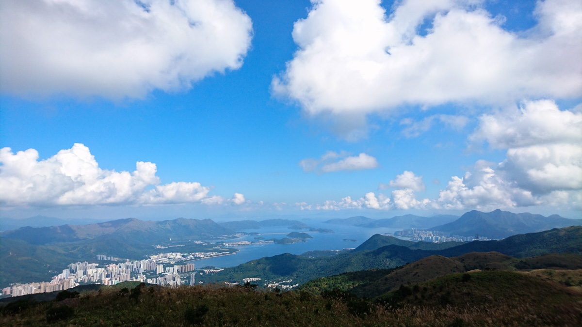
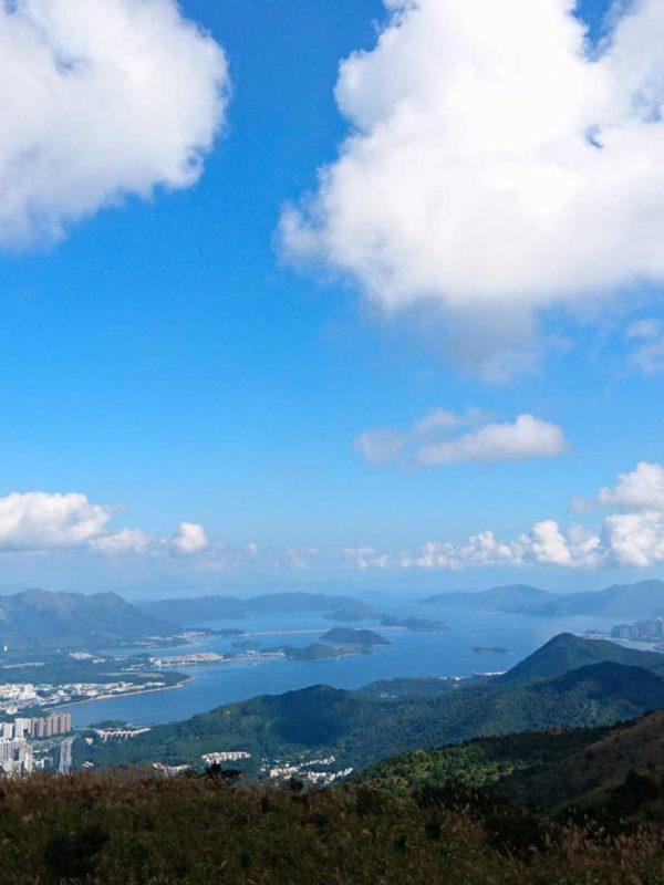
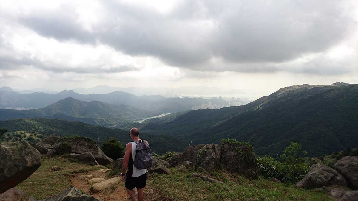
At the top, the views aren’t actually that great, Hong Kong seems so far away, perhaps that was because it was a bit hazy. Going down was a lot easier and actually one of the more, if not the most pleasant decent out of any of the top three highest peaks in Hong Kong. There’s no steep stairs, it’s just a gentle slope with some good trail running to be had. A long way to be sure, especially after that hike up, or perhaps its because of the hike up it felt so easy going down. Either way, we’re going to be doing the Tai Mo Shan hike again very soon and will update this post or perhaps take a different way and do a new post.
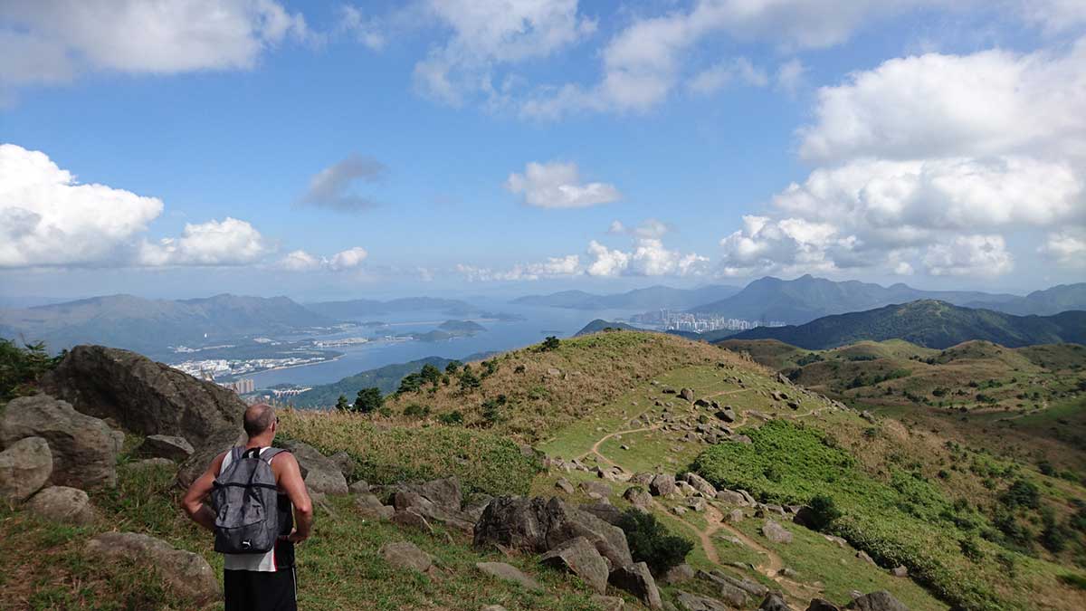
The Tai Mo Shan Hike is part of Macelhose trail section 8, considered by many to be one of the trails most closely defining hiking. Sure there are stairs, but it’s more natural than a lot of other trails in Hong Kong. Update: We did the Tai Mo Shan hike again and after 2-3 weeks of being sick and not doing much, still found it a lot easier, getting to the top in about an hour and a half. The way we went is pretty much straight up, it’ll bugger you out, but not completely. You can move it on the way down and there’s some good trails.
Tai Mo Shan Hike level of Difficulty: 7/10
Tai Mo Shan Hike Access: Many ways, we started from Ng Chung Chai Road and ended up Wun Yiu Road via Wilson Trail Section 7
Tai Mo Shan Hike Views: 7/10
Contact us for GarminConnect or Mapmyhike route info.
Send us any questions or comments you have about the Tai Mo Shan hike via email or ask us on twitter.