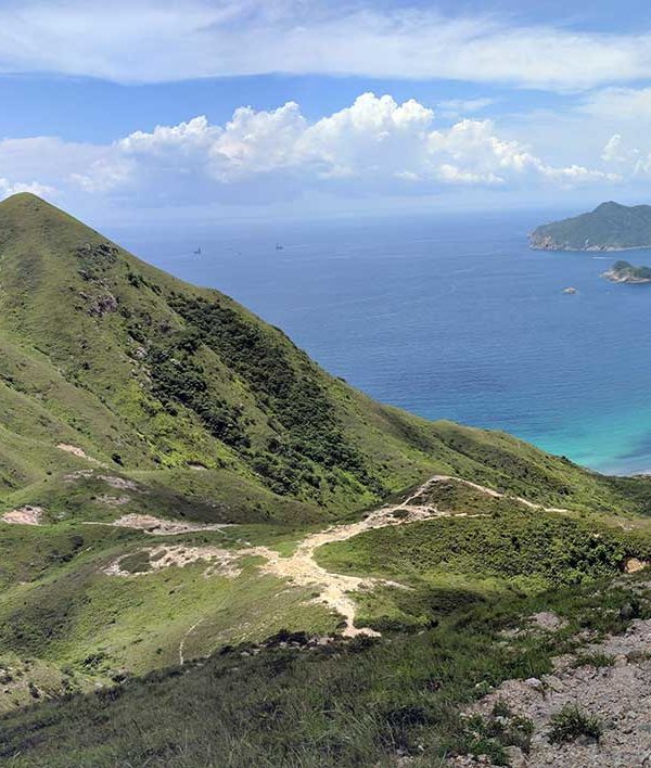
Sharp Peak hike is a bit of a mission to get to if you live on the island but it’s worth it if you can catch it on a clear day. There’s a few ways to the top of Sharp Peak, and despite it looking a bit formidable looking from sea level, only the last few hundred meters pose any amount of challenge. We started from Sai Kung, and headed to Pak Tam Au, you can get a bus there but we flagged it and took a taxi (about $80 from memory), this is road that is not accessible to public vehicles so we parked at the Kau Sai Chau Public Car park, took a taxi to the entrance and began the journey. When you get off at Pak Tam Au, you’ll see the entrance to Macelhose Trail Section 2, follow that for a while and you’ll meet up with Sharp Peak Path which takes you to the top of the Sharp Peak Hike.

The first 45 minutes along Macelhose Trail is all concrete paths, then you begin your decent. Although only a few hundred meters up, if that, you’ll be knackered by the time you get to the top. Some other hiking in Hong Kong sites suggest you might need hiking gloves, whatever on earth they are – what a ridiculous thought. Anyway, yeah, it’s pretty much straight up, you might need to use your hands a bit but unless you’ve spent your whole life indoors doing absolutely nothing, it’s not the most treacherous hike up. Having said that, you wouldn’t want to fall down on your way up doing the Sharp Peak hike, you’d go ass over tit and could do yourself some serious harm.
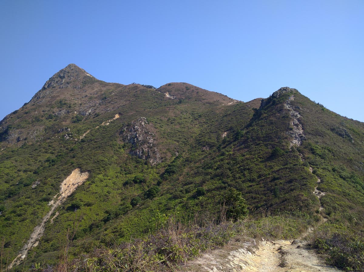
At the top the views are okay, looking out over Sai Kung it’s nice. We try and only hike when it’s clear and sunny and on weekdays to avoid any other people, however when we got to the top we had the unfortunate luck to strike a group of Drone nerds. When you reach the top of any mountain/hill, the worst thing is to share it with a bunch of loud locals or even worse, loud mainlanders. We stayed a few minutes, and began the decent. There’s a few ways to get down, we took the long way, ended up on a beach and were bit a lost for a while. You’ll definitely to have your Google Maps open throughout the Sharp Peak hike. We ended up on a secluded beach, being the only ones there, and this is what hiking in Hong Kong is all about to us, having nobody else around. We had to backtrack to meet up with the track and eventually got back on track.
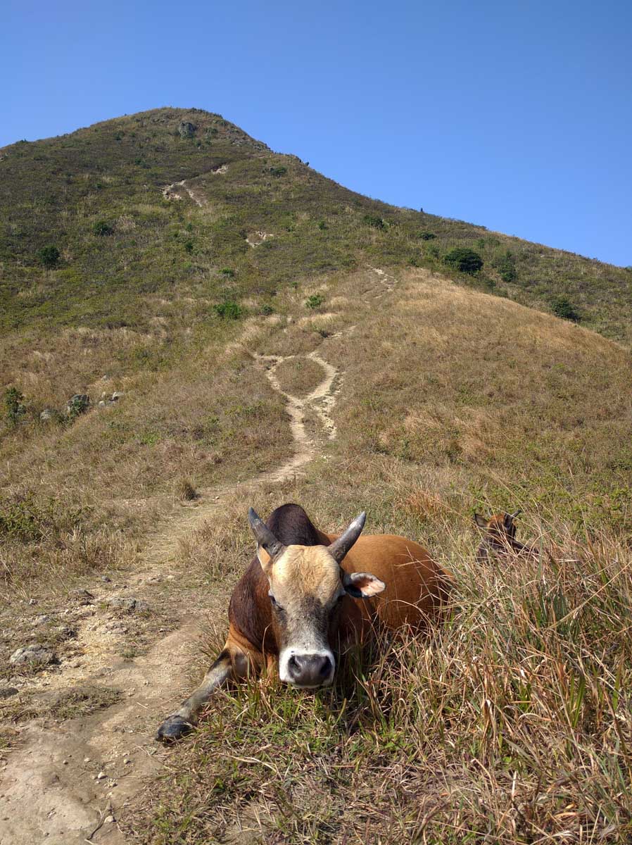
Total distance is about 17km, and that day was particularly hot for that time of year so this hike was particularly tiring. We almost ran out of water (one and half litres) and our battery was flat from all the Google mapping. If you know where you’re going that shouldn’t be a problem. The Sharp Peak hike must be done on a fine clear day to have any appreciation for it, you can see it was a bit hazy (normal for Hong Kong) on the day we went and the views weren’t that great.
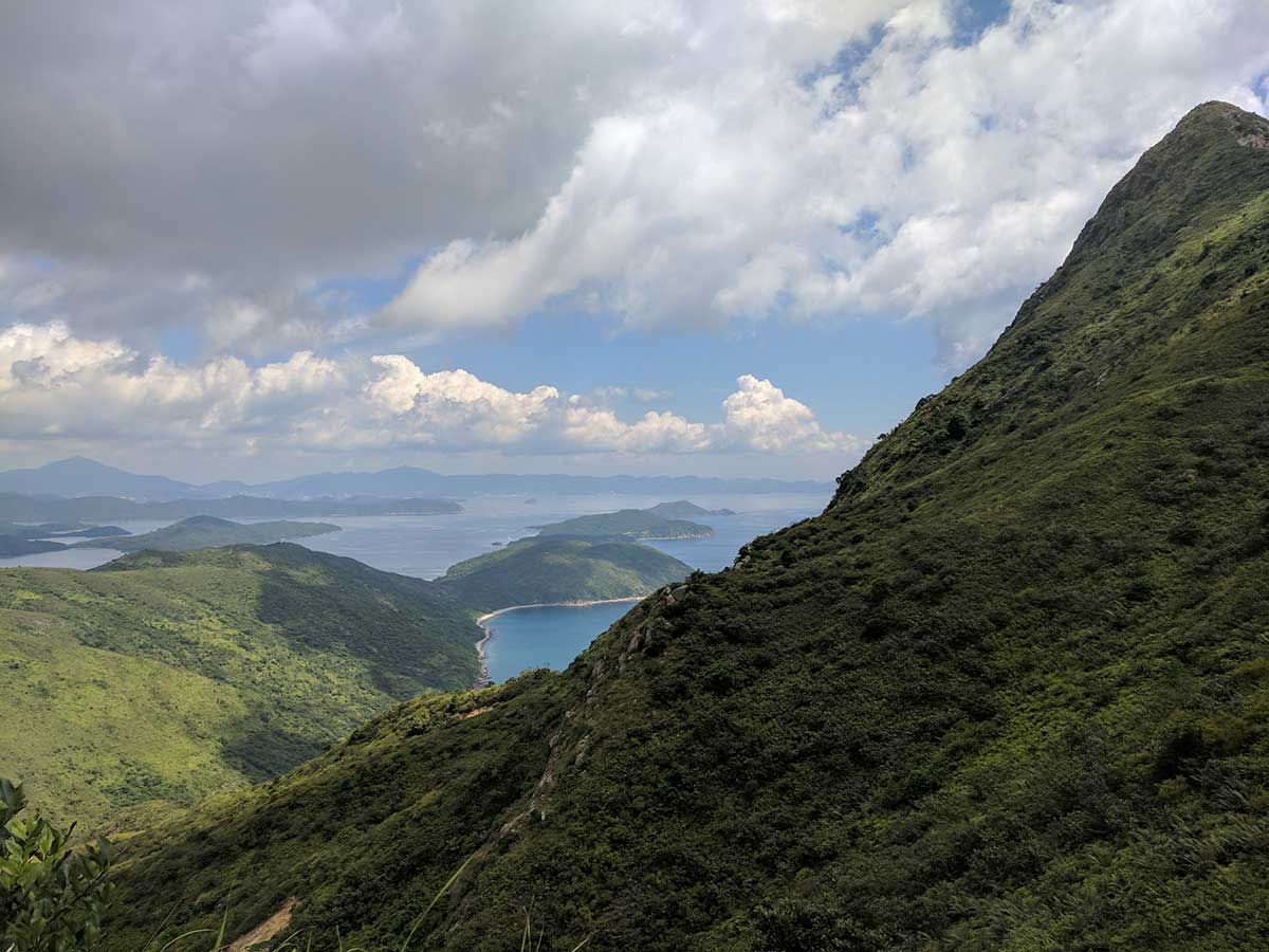
The Sharp Peak hike is one of the more demanding hikes in Hong Kong, but only for the last 100 metres or so. Getting down is a slog. Make sure you bring lots of water, it’s easy to go off trail especially when you’re coming back along the beaches.
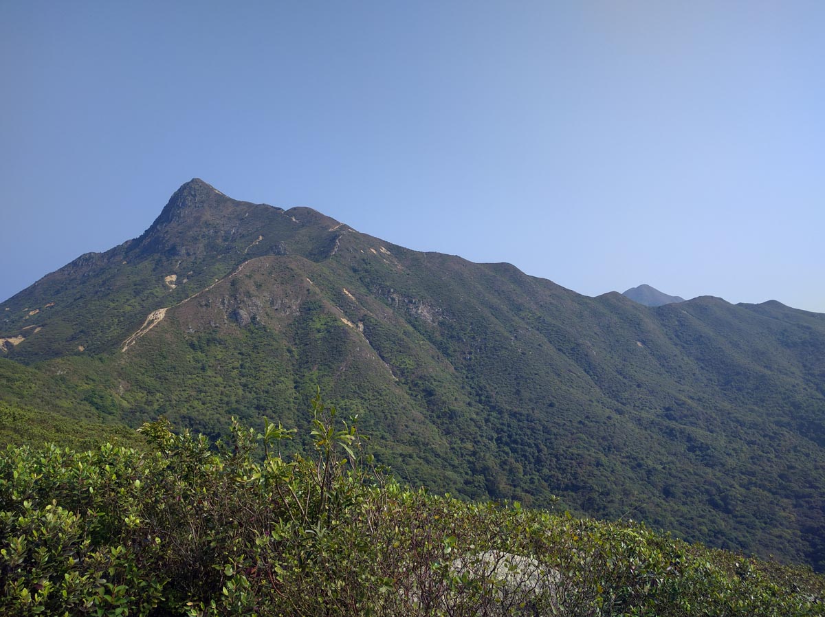
Sharp Peak Hike Level of Difficult: 3/10 getting to Sharp Peak Path. Last 100 meters or so 8.5/10
Sharp Peak Hike Access: Pak Tam Au, no public vehicle access, must get a taxi or bus in.
Sharp Peak Hike Views 8/10
Send us any questions or comments you have about doing the Sharp Peak Hike via email or ask us on twitter.

